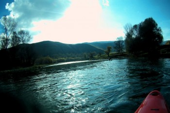
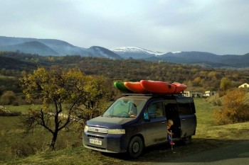
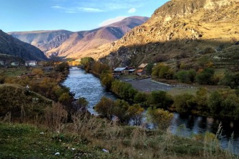
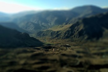
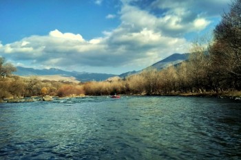
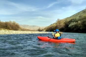
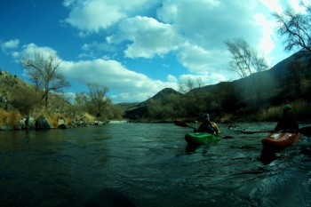
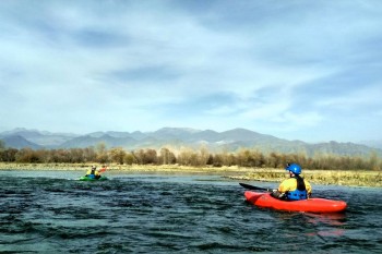
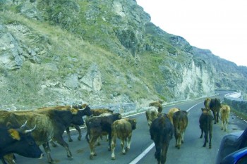
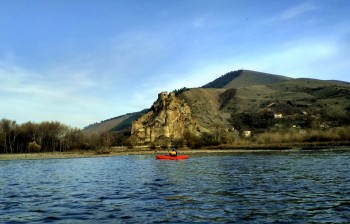
November 2017 was surprisingly warm, and the GeTUR guides decided to go on the short trip along the Kura-Mtkvari River (Samtskhe-Javakheti region, Georgia) to see what changes had on the river lately.
A hydro dam on a Turkey side regulates the water level in the river. In the absence of the rains and active snow melting, the water level in the upper river part is low, and descents are challenging even on plastic kayaks. But several times in a week the dam releases water, and at that moment (about 6 hours) you can catch a water level that suits for rafting or kayaking. But in dry months from June till October, you can wait for several days to appear high water level.
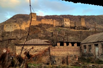
Unfortunately, the water level in the river was deficient during our trip. The upper section from Mirashkhani (მირაშხანი) village to Khertvisi (ხერთვისი) fortress located upper of the confluence of Mtkvari and Paravani rivers was no good for rafting. Because of that, we decided to scout a lower part of the river, which no popular from WW kayakers.
We spent two days on rafting
We inspected the river section from Khertvisi fortress to Minadze on the first day. This river section could be divide into three parts:
The first one, Khertvisi-Aspindza. This river section is very light, like class 1 - 1+, according to the international grade. But surrounded views are beautiful.
The second one takes place from Aspindza to a power dam close to Dzveli village. Pretty beautiful nature-landscapes and sites for camping are during this part of the river. In the section, there are also several light rapids about class 1 - 2. One of them locates near Aspindza village. It is a long rapid with several steps about grade 2 by the present water level. We provide the google point in the middle of the rapid; the point is 41.595001,43.192528.
Further, several light rapids are on the river, in the middle of the section you can find a new dam. The dam must starts work in February 2019. Flooding zone will be along a 4 km stretch. For this reason, we can think that the long rapid will left at the river. Now, in our opinion, a better point to exit across the dam is a meadow on this point 41.598804,43.151917. It locates in 1 km over the dam and has a clean way for the car. Also, you can use the exit nearby the dam, but it is less in quality.
The third section takes place in one kilometer after the dam and finishes close to the Minadze village. The river on the section flows in a beautiful gorge. There are several light rapids and many sites for camping on the riversides.
On the next day, we moved to the lower section of Mtkvari, which take place from Minadze village and finish close to the Dviri dam.
The section is simple; here are places with rapid currents and class I rapids. Surrounded landscapes are rather dull that section which was the day before, but you can find here the ruins of the fortresses Atskuri and Slesa. The next dam located in Dviri village. It takes water from the river, and there is no water behind the barrier in the low water period. But at the high water period, it must be a very and very intricate rafting section; we can judging that form of the relief. I'll have to check this in spring.
You can restart descent from Chitakhevi village, where water from the dam returns to the river. The best finish point is a meadow on a left bank at the beginning of Borjomi city.


